Conservation Commission
Shelton, Connecticut
 OPEN
SPACE MENU
OPEN
SPACE MENU
Open Space Links
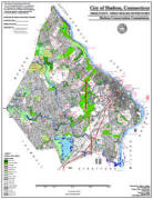
Open Space Map (3mb)
City of Shelton Open Space Marker
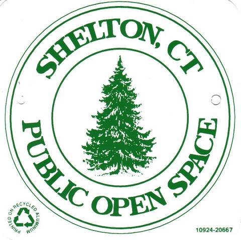
This marker is used to identify Public Open Space owned by the City of Shelton. It does not mark the exact location of the property line and may be as much as 100 feet away from the boundary, depending on site conditions. The Conservation and Pedestrian Easements markers have a similar look but different text.
Land Trust Marker
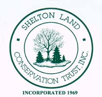
The Land Trust is a private, non-profit group that owns 364 acres of open space in Shelton, marked with these signs. People frequently confuse the Land Trust with the City of Shelton.
Wetlands Marker
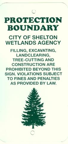
These rectangular wetlands marker may be found in some newer subdivisions, usually on 4x4 posts. They mark the location of areas regulated by the Shelton Inland Wetlands Commission. These are generally on private property and are not related to open space.
Open Space #OS 94 Birchbank Mountain
And abutting OS 67, 55, 56, and 70
155 Acres
Birchbank Mountain is one of our largest and most rugged of our open space properties. The property rises up the river bluff about 250 feet from the railroad tracks along the Houstatonic River to the edges of the White Hills above. Upper White Hills Brook descends through a notch in the river bluff that was once a major route from the White Hills to the river below, used by both Native Americans and colonists.
Birchbank Trail climbs the river bank and loops around the brook, while the Paugussett Trail enters the park from the intersection of Round Hill Road and Okenuck Way and follows the river bank south to Indian Well State Park. ATVs, Paintball, Airsoft are all prohibited from this park but are chronic problems. See the trail map.
The sandy, well-drained riverbank soils and cool microclimate are home to many species of plants that are not seen in other parts of Shelton, including an unsurpassed spring wildflower display (Dutchman's Breeches, Red Trillium, Maidenhair Fern, and others). The sandy riverbank is highly prone to erosion, and new illegal ATV trails very quickly erode to a foot or more in depth.
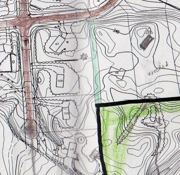
Maps and Photos (Click to enlarge)
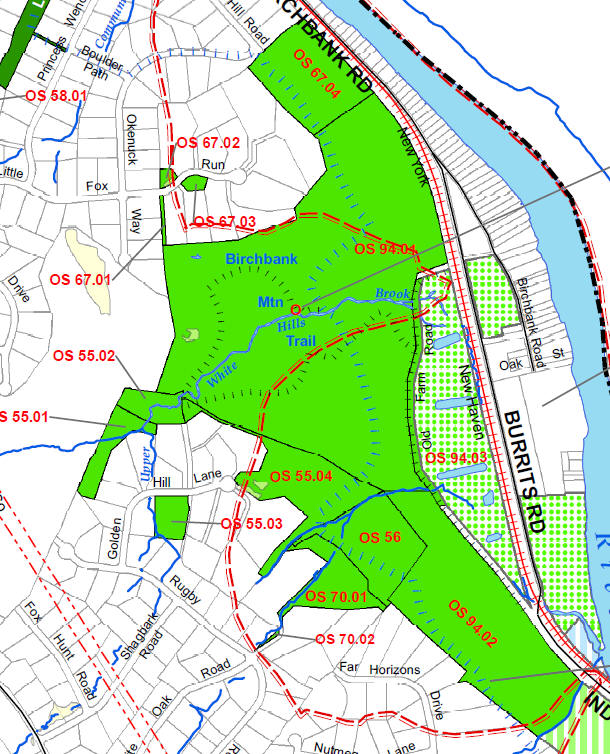
Location Map. The red dash is the edge of the public supply aquifer.
The green-dotted properties are owned by the water company (Aquarion).
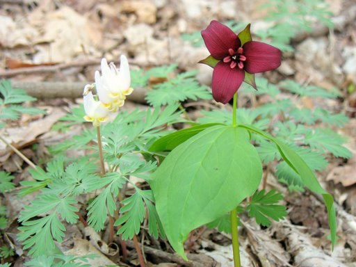
Dutchman's Breeches and Red Trillium in spring. The
floodplain at the foot of the hill is blanketed with spring
wildflowers in April.
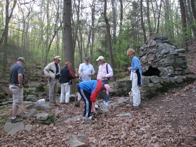
An old chimney that was once part of the Monroe Hunt Club along
Upper White Hills Brook.
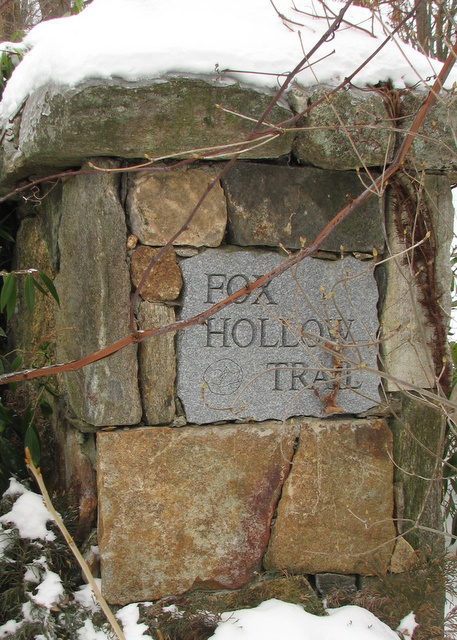
This access point is located on Little Fox Run near Okenuck Way,
just before entering the Fox Hollow subdivision.
This maps shows the access corridor from Little Fox Run.