Conservation Commission
Shelton, Connecticut
 OPEN
SPACE MENU
OPEN
SPACE MENU
Open Space Links
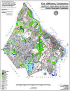
Open Space Map (3mb)
City of Shelton Open Space Marker
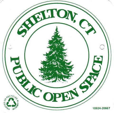
This marker is used to identify Public Open Space owned by the City of Shelton. It does not mark the exact location of the property line and may be as much as 100 feet away from the boundary, depending on site conditions. The Conservation and Pedestrian Easements markers have a similar look but different text.
Land Trust Marker
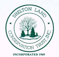
The Land Trust is a private, non-profit group that owns 364 acres of open space in Shelton, marked with these signs. People frequently confuse the Land Trust with the City of Shelton.
Wetlands Marker
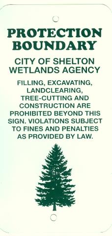
These rectangular wetlands marker may be found in some newer subdivisions, usually on 4x4 posts. They mark the location of areas regulated by the Shelton Inland Wetlands Commission. These are generally on private property and are not related to open space.
Open Space #OS 119 "Tall Farm"
and "Old Coram Rd"
Long Hill Avenue, Old Coram Road
The western half of the Tall Farm open space consists of relatively level hayfields along the top of the Housatonic River bluff. There is a temporary Lacross field located off the end of Stowe Drive. The hayfields are harvested by a local farm under an annual license.
The eastern half of the Tall Farm property is wooded and drops rapidly in places. Eventually it levels off for a bit, creating a 'bench' in the river bluff that was once used for the main road along the river, now called "Old Coram Road". The historic old roadbed still exists as a walking path.
There are currently no officially blazed hiking trails on the properties, but locals do walk the property. There is public parking in a small lot created for that purpose just outside the Waterview Landing development at the end of Warwick Road. Follow the gravel fire lane into the woods, where it turns into Old Coram Road (closed to traffic). Note that the properties north of Tall Farm along Old Coram Road are wooded and may appear to be open space but are actually private. There are chronic problems with ATVs and parties, much of that occurring on the private properties. One can walk to the end of the old roadbed then follow the paved portion of Old Coram Road to Moulthrop Lane and the scenic Southbank Park on the river below.
Maps and Photos (click to enlarge)
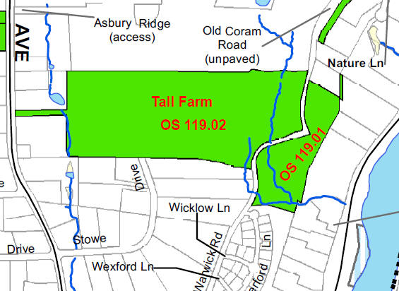
Location map. Note Old Coram Road, a "paper street" located between
OS 119.02 and OS 119.01. The old roadbed is open to the public for
walking.

Tall Farm Lacrosse Field as seem from Stowe Drive.
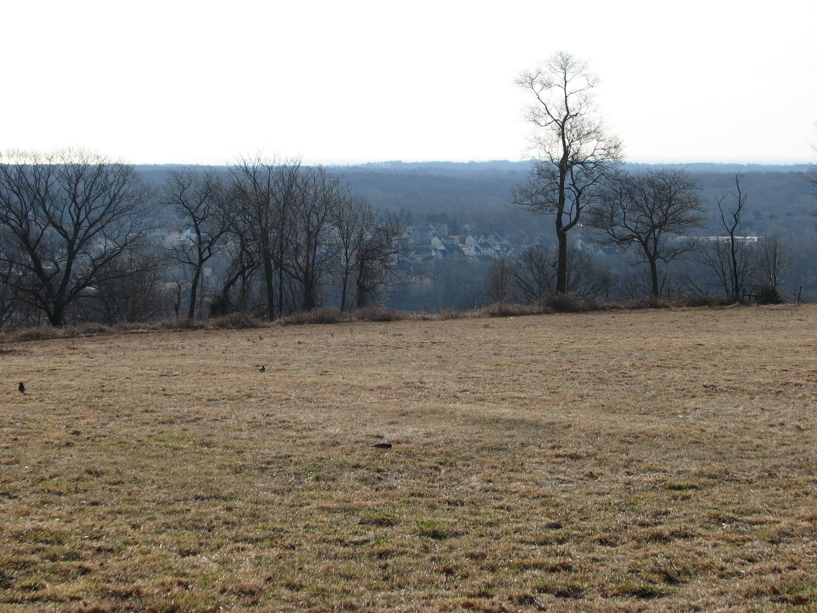
Tall Farm hayfields, looking across the Housatonic River valley.
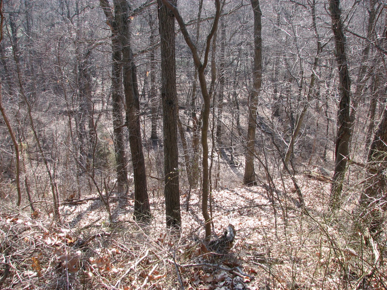
East of the hayfield the land drops rapidly.
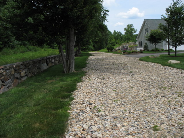
Fire access lane for Waterview Landing at the end of Warwick Road. The
public can park in the public parking area at the end of Warwick Road
and walk down this fire lane, which heads into the woods and turns into
Old Coram Road (closed to traffic).

Old Coram Road, once the main road along the river.
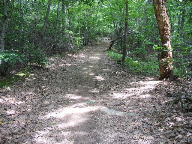
Old Coram Road makes a nice walking path.
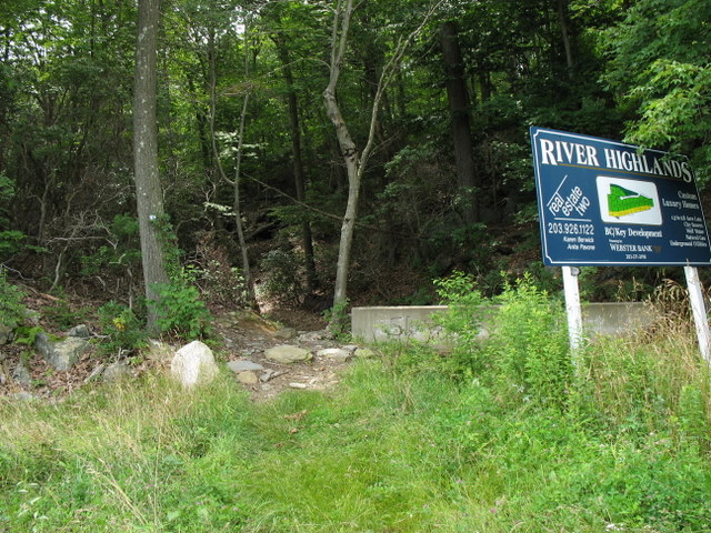
The unpaved portion of Old Coram Road exits the woods near the entrance
to Nature Lane, marked by a Jersey barrier.